


For updated school closings: https://www.tmj4.com/weather/school-closings-delays
Heavy ice, snow and slush are impacting much of southeast and south-central Wisconsin on Wednesday afternoon as the winter storm gains momentum from a slow start early in the morning. This is creating hazardous conditions including slick roadways and poor visibility across the afflicted area.
As per TMJ4’s Brian Niznansky, the wintry mix of snow and ice is falling from Milwaukee to the north, though many of the lakeshore areas will only see rain, which will help reduce the impact of ice in those regions.
This wintry mix is expected to scatter overnight, but it’ll last into Thursday morning to impact morning commuters as well. Niznansky projects between 0.25 and half an inch of freezing rain along with 3-to-6 inches of snow in the Milwaukee area and 6-inches to one foot of snow north of the city’s metro area.
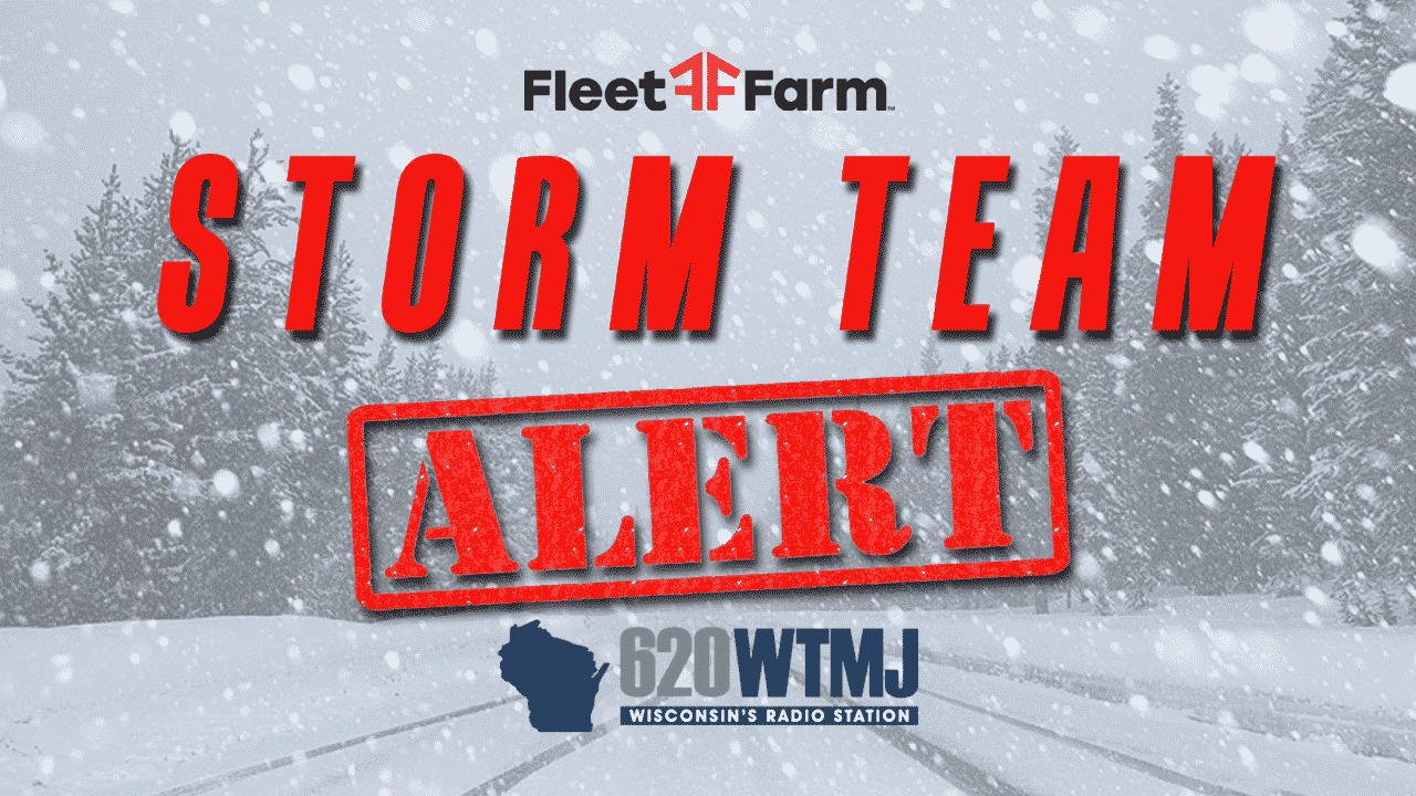
MILWAUKEE — Much of Wisconsin is bracing for a winter storm event that could bring high-speed winds, heavy snowfall and thick ice across the south and central regions of the state from Wednesday morning through Noon on Thursday.
For updated school closings: https://www.tmj4.com/weather/school-closings-delays

The National Weather Service has upgraded its advisory to a Winter Storm Warning for much of the state — though the expectations are different for each region. Heavy snowfall is expected to more more heavily concentrated in the middle of the state, but as we move further south, the likelihood of hail and ice are more prevalent.
Weather authorities say Marquette, Green Lake, Fond du Lac and Sheboygan counties may experience snowfall between 6 and 10 inches with 40+ MPH winds in play. The same is anticipated for Sauk, Columbia, Dodge, Washington and Ozaukee counties.
RELATED: 10+ inches of snow recorded in Milwaukee County after all-day snow event Thursday
Moving further south, the following areas will brace for a less harsh snowfall and an increased likelihood of icy conditions: Milwaukee, Waukesha, Iowa, Dane and Jefferson counties. NWS officials forecast 2-to-4 inches of snow and sleet with accumulating ice up to a quarter of an inch.
Across the southeast and south-central section of the state — particularly in Kenosha, Racine and Walworth counties — NWS officials are bracing for “significant icing” with as much as one half of an inch of ice accumulating across the region. Weather authorities are also bracing the community for the potential of power outages, tree damage and hazardous travel.
In fact, the ice accumulation could grow so significant that travel would become nearly impossible. For the safety of yourself and others, make a backup plan in case of a storm-related emergency including a safety go-bag or alternate travel/work plans for the duration of this storm.
This is a breaking news story. An update and/or follow-up may be issued if further details are revealed.
TOP HEADLINES FROM THE WTMJ NEWS STAFF:
- Milwaukee has five of Wisconsin’s deadliest roads, study shows
- Arson suspect attacks deputy at Ascension All Saints Hospital in Racine
- Milwaukee Bucks sign FA center Meyers Leonard to first NBA deal since 2021
- Attorney in Green Bay dismemberment case wants out after courtroom assault
- Packers running back Aaron Jones takes $5 million pay cut to stay in Green Bay
READ: 2023 Wisconsin Supreme Court Race: Get to know your candidates with exclusive interviews on WTMJ