


Several isolated severe storms made their way through Wisconsin Saturday, brining with them high winds and funnel clouds.
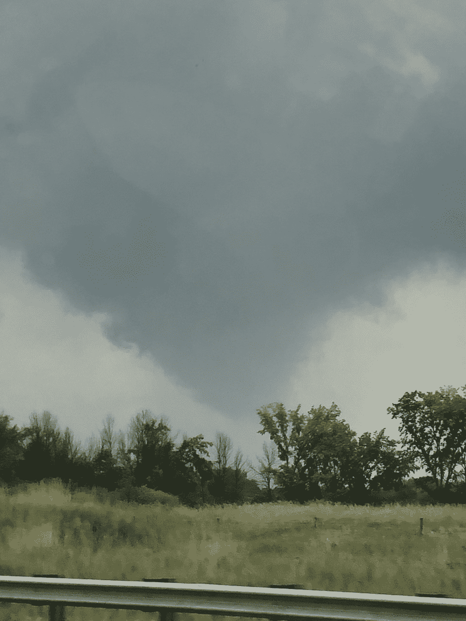
The biggest threat came around 5 p.m. when several tornado warnings were issued. One was for a storm in Washington and Ozaukee counties where several social media posts showed a possible funnel cloud in the Richfield/Jackson area.
The National Weather Service says there have not received word of any touch down of funnel clouds in that area, but there may have been one near Rosendale in Fond du Lac County at the same time.
There was also a tornado warning issued for the Fox Valley area, where a waterspout was seen on Lake Winnebago near Oshkosh. A reported tornado was made east of Winneconne, as well as several other funnel clouds.
The National Weather Service is investigating to confirm any tornado touch downs.
Earlier in the day, a severe thunderstorm made its way through Milwaukee County around noon. There were reports of trees and branches blown down in Bay View, Saint Francis and Franklin.
That caused a number of power outages across the county. We Energies reported over 85-hundred customers were without service at the height of the outages. Crews worked throughout the day and evening hours to restore power.


