


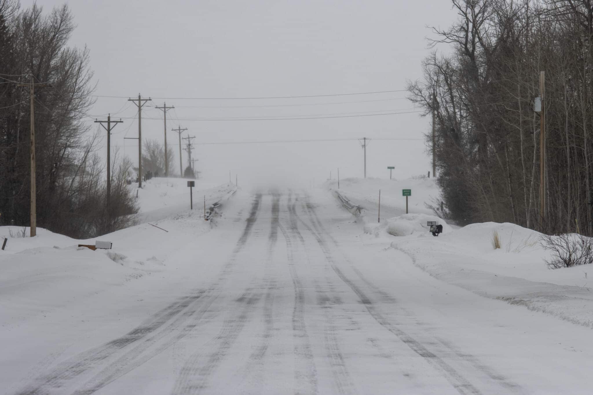
There’s a chance for additional snow into Monday for southeastern Wisconsin.
A Winter Weather Advisory remains in place for Sheboygan and Fond Du Lac counties as snow totals are expected to be higher Sunday night. Areas to the south of those counties will see between a trace to as much as 2″ of snow expected through Monday afternoon.
More snow is expected tonight. Highest amounts will be toward central WI. #wiwx pic.twitter.com/LjuuUzyKDx
— NWS Milwaukee (@NWSMilwaukee) March 12, 2023
Milwaukee could see an additional 1-2″ of snowfall through Monday morning according to the National Weather Service in Milwaukee Sullivan. TMJ4’s Kristen Kirchhaine says snow will be heavy at times, with reduced visibility in some areas, causing hazardous traveling conditions.
Kirchhaine adds that sunshine moves in with high-pressure on Tuesday, followed by increasing clouds on Wednesday coincide with a jump in temperatures. Highs will rise into the mid 40s as the next weather-maker approaches the Great Lakes. A few showers are possible very late Wednesday night. Otherwise, scattered showers will move into SE Wisconsin Thursday as highs jump to near 50-degrees.
Stay up to date with the forecast here.


