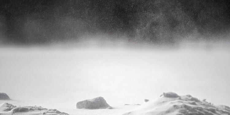
It’s been a busy week weather-wise across Southeast Wisconsin, and that trend looks to continue tomorrow. While the event is shaping up to be a major storm, there’s still some things that are up in the air in terms of what we can expect over the next 36 to 48 hours.
Here’s what we know so far: a winter weather event is set to track northeast from the Texas panhandle area Friday. While the exact track remains uncertain as of this morning, it’s unlikely to be a complete miss so Southeast Wisconsin will see measurable snowfall.
We also know a Winter Storm Watch has been issued for all of Southeast Wisconsin starting at 6:00 am Friday and running through Saturday morning.
What is less known is how much will fall, and where the highest totals will hit. It appears like the lakeshore area will once again see a mix of snow and rain in the early stages of the event, slightly hampering accumulations. However, there is the potential for lake enhancement at some point during the event, which could also push amounts to the high end.
What’s also unknown is whether or not conditions will reach the point to which the National Weather Service would classify the event as a “blizzard”.
“A snowstorm is considered a blizzard when, for 3 hours or longer, there are sustained winds or frequent gusts over 35mph, along with considerable falling or blowing snow that frequently reduces visibility to less than ¼ mile.” says WTMJ meteorologist Craig Koplien. “Whether the storm meets blizzard criteria or not, the combination of snow and wind is going to reduce visibility, and may even down some tree branches and power lines.”
The latest predictions from Storm Team 4 indicate winds will be sustained between 20 and 30 miles per hour during the storm, with gusts between 40 and 50 miles per hour.
Not to be lost amidst the talk of snow, high winds, and blizzards is the quick and sharp drop in temperatures we’ll see after the Friday storm ends. The below graphic from Koplien shows how bitterly cold the stretch from Saturday night through Wednesday will get in Milwaukee:

As always, stay tuned to WTMJ for the latest Fleet Farm Storm Team coverage. You can access our interactive radar at any time, and hear the latest forecast on the WTMJ mobile app.
TOP STORIES FROM THE WTMJ NEWSROOM:
- Winter events coming to American Family Field…eventually
- “The drought is coming to an end!” Snow removal companies celebrate the snowfall
- Kent Lovern announces run for Milwaukee County District Attorney
- “No timeline” on when school resource officer plan will be presented to Milwaukee Public Schools board
- Lead exposure prevention in Washington and Ozaukee Counties


