


So much for summer…
Snow is expected to start the work week across most of Wisconsin; how much depends on where you live. The National Weather Service in Milwaukee/Sullivan says light snow is likely overnight, with very little accumulation. TMJ4’s Brendan Johnson says whatever accumulation there is will collect mainly on grassy surfaces.
A spring snow storm is on the way for southern Wisconsin. Timing/accumulation details remain on track, with the Winter Storm Warning being expanded to Lafayette County, and the Winter Weather Advisory being expanded to include Green Lake County. #wiwx pic.twitter.com/EJ1mJNmEmE
— NWS Milwaukee (@NWSMilwaukee) April 16, 2023
Johnson adds the problem will be temperatures, which could fall to near freezing overnight Sunday, while only recovering into the 40s on Monday, with wind chills in the 20s. Winds could be as high as 40 mph.
Snow rates should begin to pick up tonight and peak from 12am to 4pm on Monday. Peak rates in our area may reach 1.5 inches per hour, leading to accumulations that may outpace melting on roads. Rates should then taper off after dawn on Monday. #wiwx pic.twitter.com/v8pQmBPDzN
— NWS Milwaukee (@NWSMilwaukee) April 16, 2023
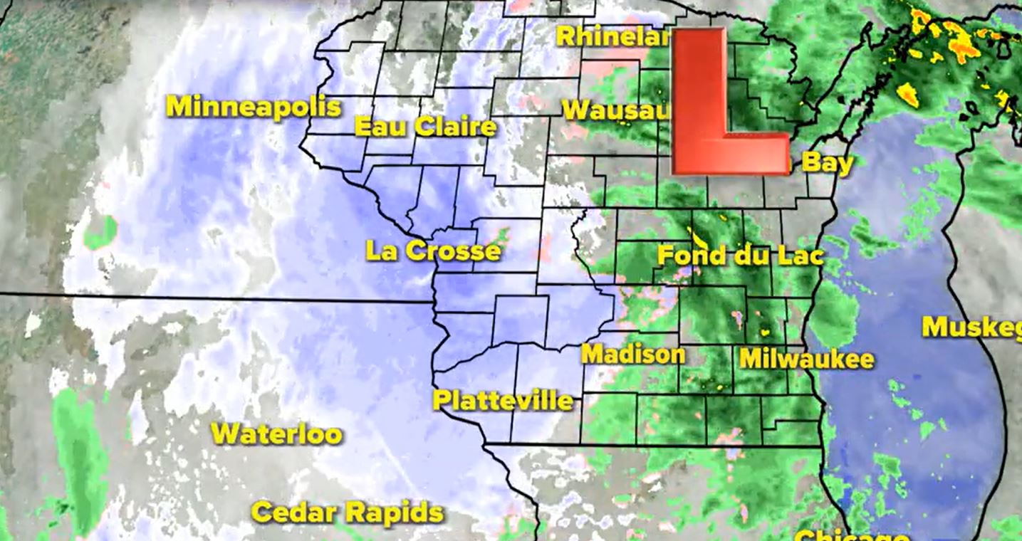
Much of the rest of the state is not as fortunate. Several winter storm warnings and advisories are in effect for counties to the north and west of Madison; in fact, a blizzard warning is in effect for a few counties in far northern Wisconsin.
The forecast for southeastern Wisconsin can be found here.


